
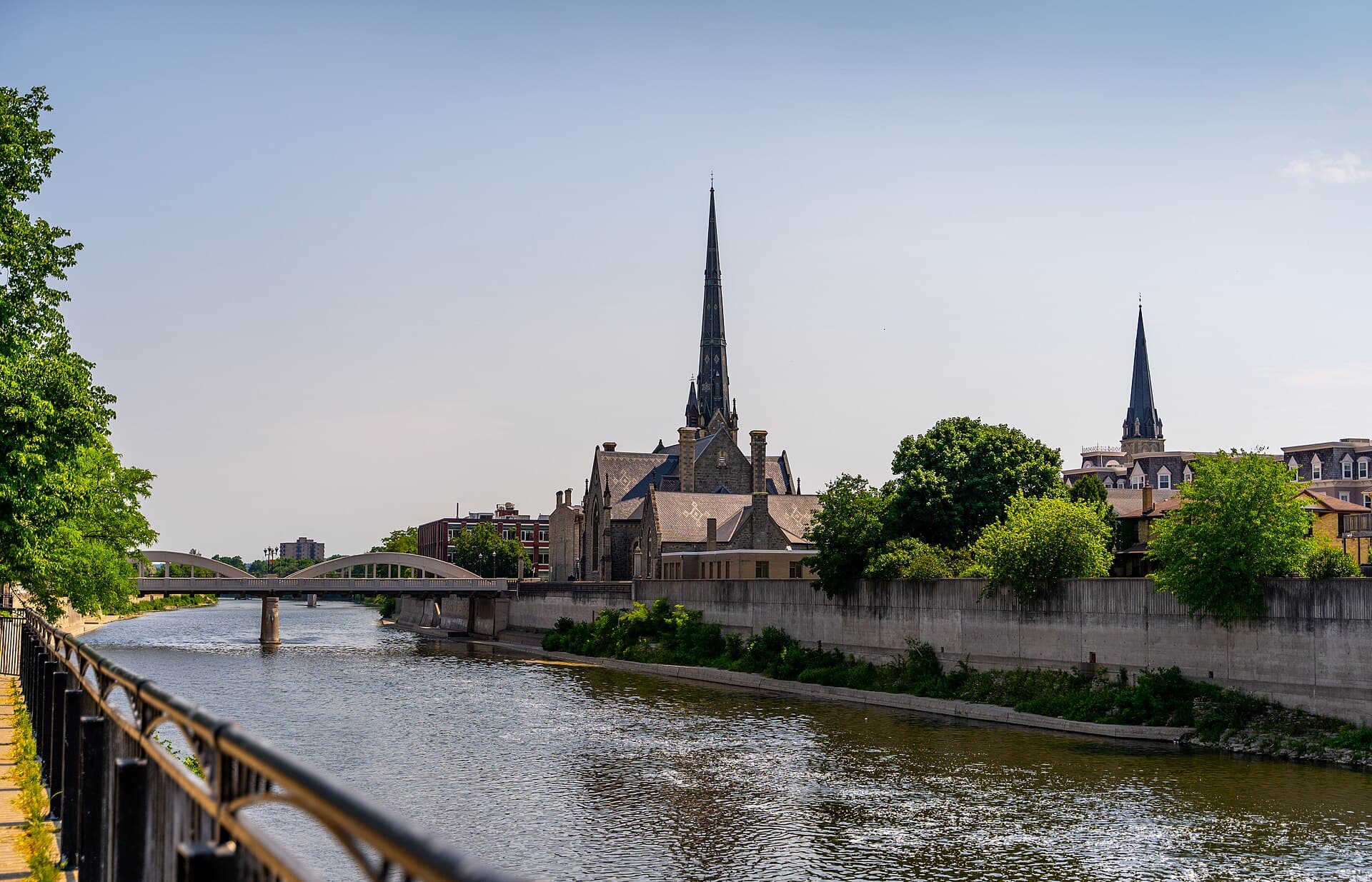
Three towns. Two rivers. One home.
Galt, Preston and Hespeler each spent a century and a half becoming themselves before they ever shared a name — and the Grand runs through the heart of it all. We will help you find the corner of Cambridge that already feels like yours.
Three proud towns, and the village that came first.
In 1973 the province joined Galt, Preston and Hespeler into one city, and the residents chose its name themselves — reaching back to Cambridge Mills, Preston's original name, so the new city would carry the oldest roots. Fifty years on, each community still keeps its own downtown, its own character and its own name on the map. That is the thing to understand about Cambridge: it is not one town, it is a family of them.
Galt · est. 1816
Started as Shade's Mills — William Dickson's land and Absalom Shade's sawmill on the Grand — and renamed for the novelist John Galt in 1827. The river's power built a manufacturing town so capable it was called the Manchester of Canada, and the granite and limestone downtown that wealth raised still stands, handsome as ever.
Preston · est. 1805
The oldest of the three. John Erb's gristmill at the meeting of the Speed and the Grand ground flour on the same spot for over two centuries — and when an Erb drilling for salt struck sulphur springs instead, Preston reinvented itself as a spa town whose hotels drew visitors from across the continent.
Hespeler · est. 1845
First Bergeytown, then New Hope — then Jacob Hespeler arrived, enlarged the dam on the Speed, and built the mills that made this a textile town for a century. During the hardest years of the 1930s, the big woollen mill made a point of keeping at least one member of every family working. That kind of place.
Blair · c. 1800
The quiet fourth name, and the deepest roots of all — a Mennonite settlement on the west bank of the Grand that predates them all, still a village of lanes and old trees that the years have treated gently.
A city that has always made things.
Toyota
Cambridge won the plant in 1986, built its first Corolla in 1988, and never looked back — today it is the region's manufacturing anchor and the first Toyota plant outside Japan trusted to build a Lexus. Two centuries after the mills, this is still a town that makes things, and makes them well.
Two hundred years of making
The Manchester of Canada earned its name the hard way — textiles in Hespeler, foundries in Galt, flour at Preston's mills. The industries changed; the habit never did. Advanced manufacturing keeps Cambridge working today, and keeps its neighbourhoods steady.
Old bones, new life
The 1800s Southworks foundry buildings in Galt are being reborn as the Gaslight District — restaurants, entertainment and workspaces around a cobblestone square. It is the whole city in one project: heritage stone, put back to work.
The 401 at your shoulder
The highway crosses the city's north edge, which is exactly how so many people found their way here — close enough to reach Toronto, Guelph and the airport without surrendering your evenings, far enough that home stays home. GO buses run from Hespeler Road, and light rail to downtown Galt is on its way.
Neighbourhood by neighbourhood, town by town.
Century stone in old Galt, village streets in Preston and Hespeler, and newer crescents filling in between them — Cambridge holds more kinds of home than most cities twice its size, and every one of them belongs to one of the four historic communities.
Select a neighbourhood to jump to it
Galt
North Galt
Preston
Hespeler
Blair
Thumbnail sketches only — every one of these deserves its own conversation. Ask us about any of them.
Life at the water's edge.
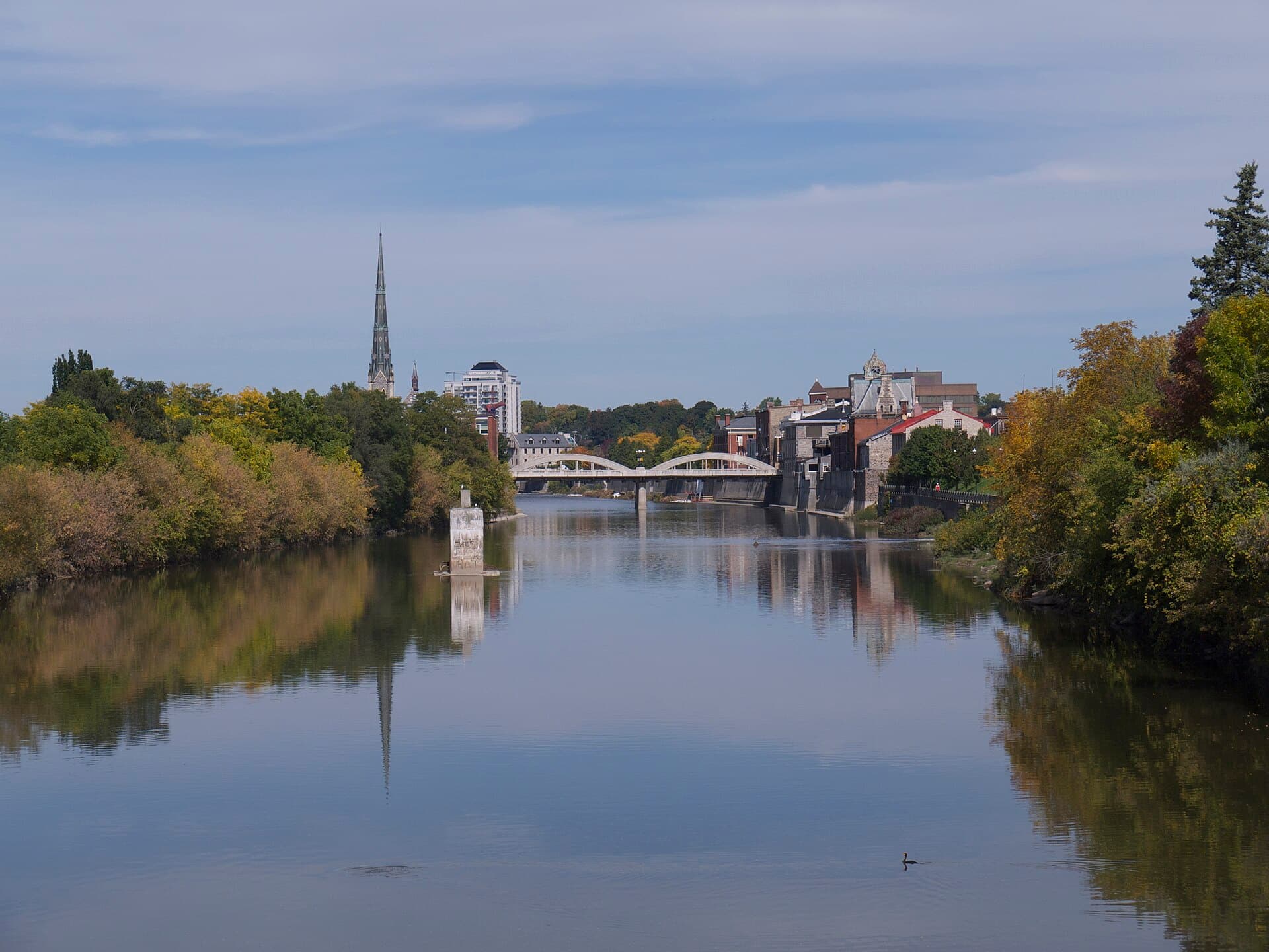
The Grand, through the heart of it
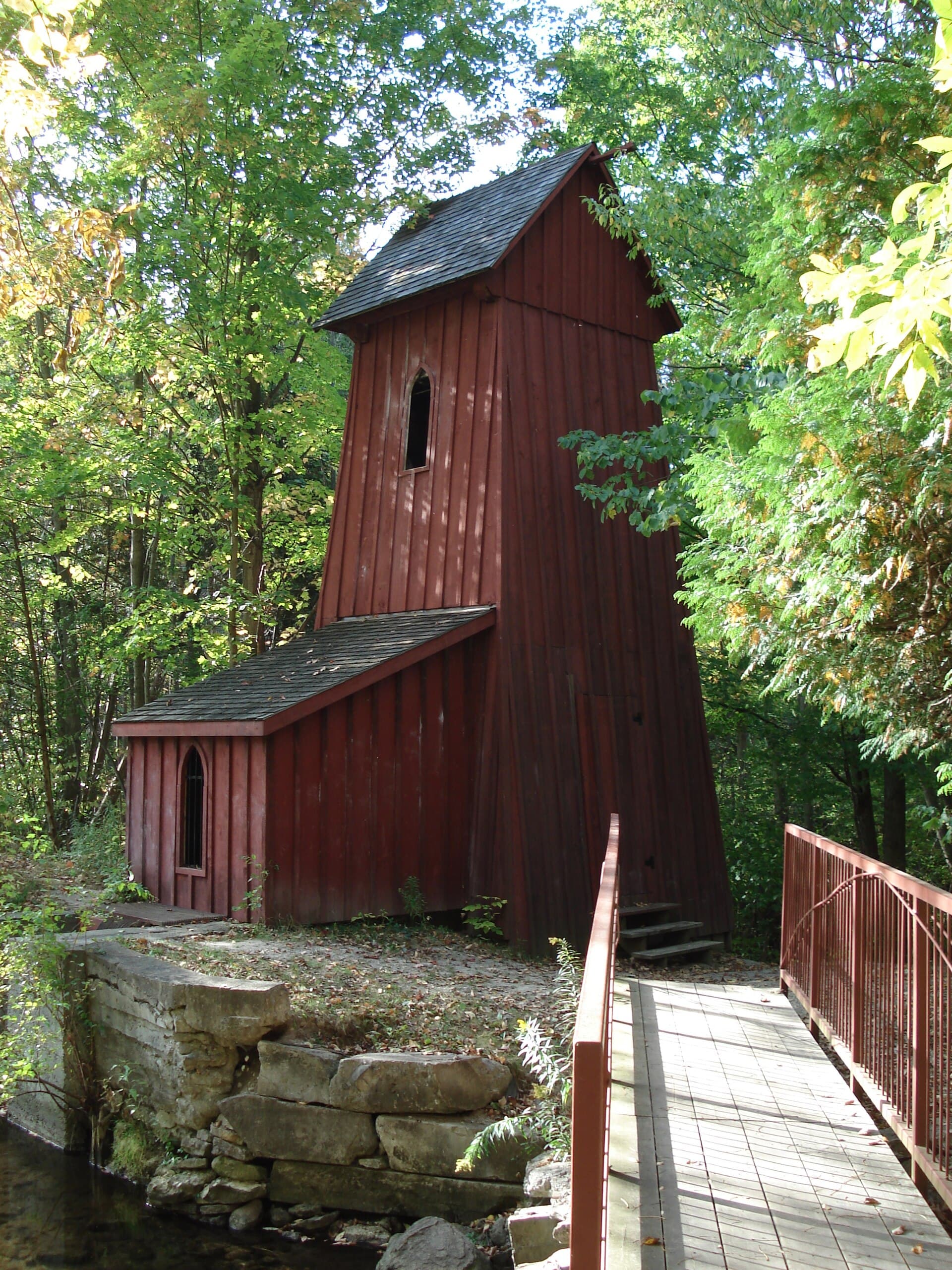
A Canadian Heritage River, with the Speed joining it at Preston. Downtown Galt sits right on the water — Mill Race Park, the Sculpture Garden, the riverside churches — and the Cambridge to Paris rail trail follows the bank through Carolinian forest for a whole unhurried afternoon.
A market since 1830
The Cambridge Farmers' Market has been trading on Saturday mornings for nearly two centuries — one of the oldest in the country, and still the best errand of the week. Farmers, bakers and makers, in the heart of downtown.
Culture in three acts
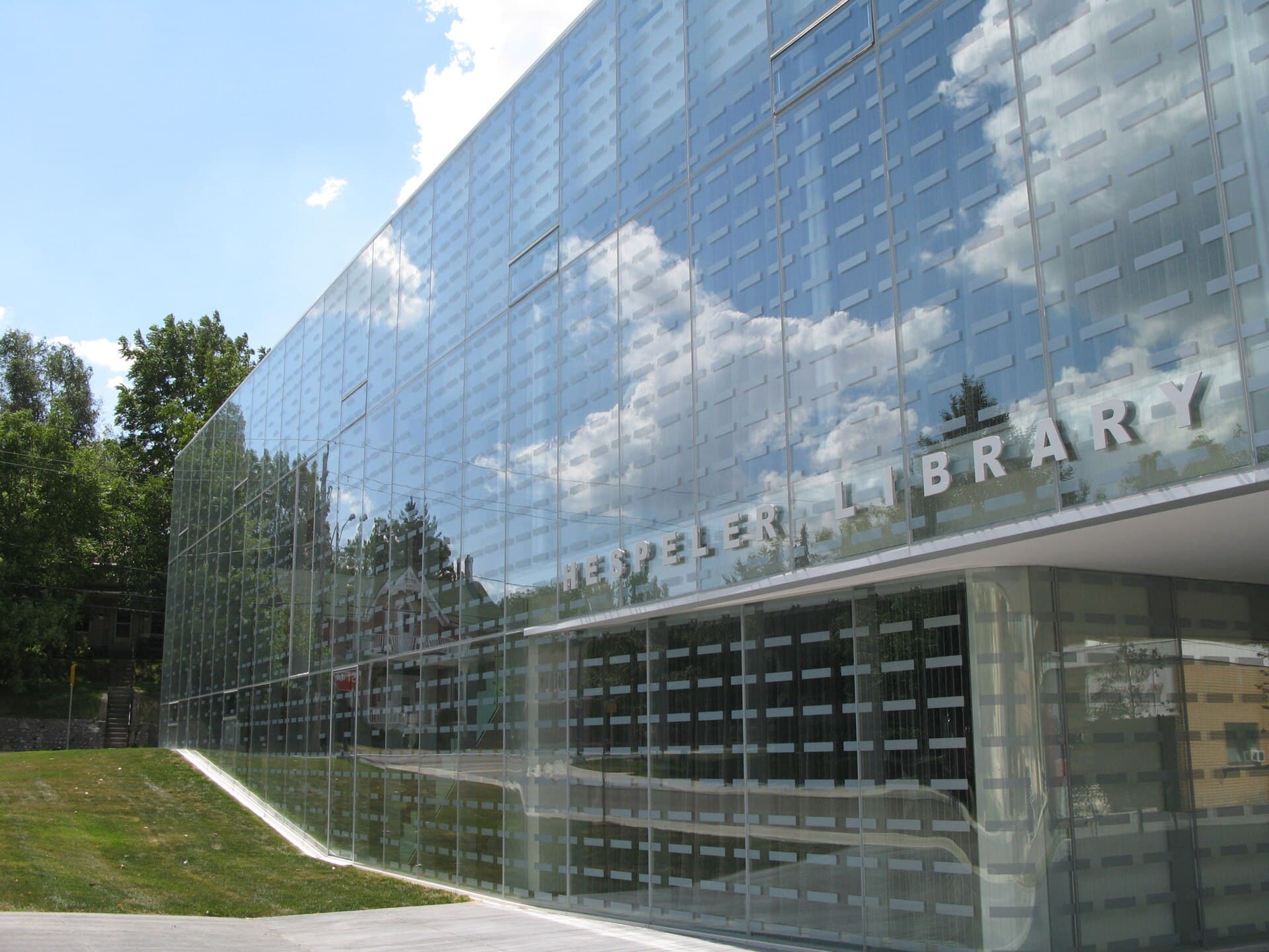
A professional theatre by the river, museums tucked into heritage buildings, a glass library wrapped around Hespeler's old post office — and downtown streets so well kept that film crews borrow them for the movies. Cambridge wears its culture comfortably.
Three downtowns, one address
Galt's stone main street, Preston's village stretch of King, Hespeler's millpond corner — most cities get one downtown; Cambridge kept three, each with its own rhythm. Whichever neighbourhood you land in, one of them is yours.
Moving to Cambridge?
We help relocating families every week — video tours, neighbourhood shortlists, and remote-friendly closings, with your questions coming straight to Dave.
Neighbourhood map derived from OpenStreetMap data © OpenStreetMap contributors, available under the Open Database License. Photography: J Yochem (CC BY-SA 2.0) · Maksim Sokolov (CC BY-SA 4.0) · JustSomePics (CC BY-SA 4.0) · DavidArthur (CC BY-SA 3.0) · Mac Armstrong (CC BY-SA 2.0)
.jpg)
.jpg)


.jpg)